BHC’s Wil Anderson sets sights on Surveying Program at KCKCC

Wil Anderson, Vice President and Surveying Services Group Leader at BHC has been instrumental in establishing the new Surveying Technology Program at the Kansas City Kansas Community College.
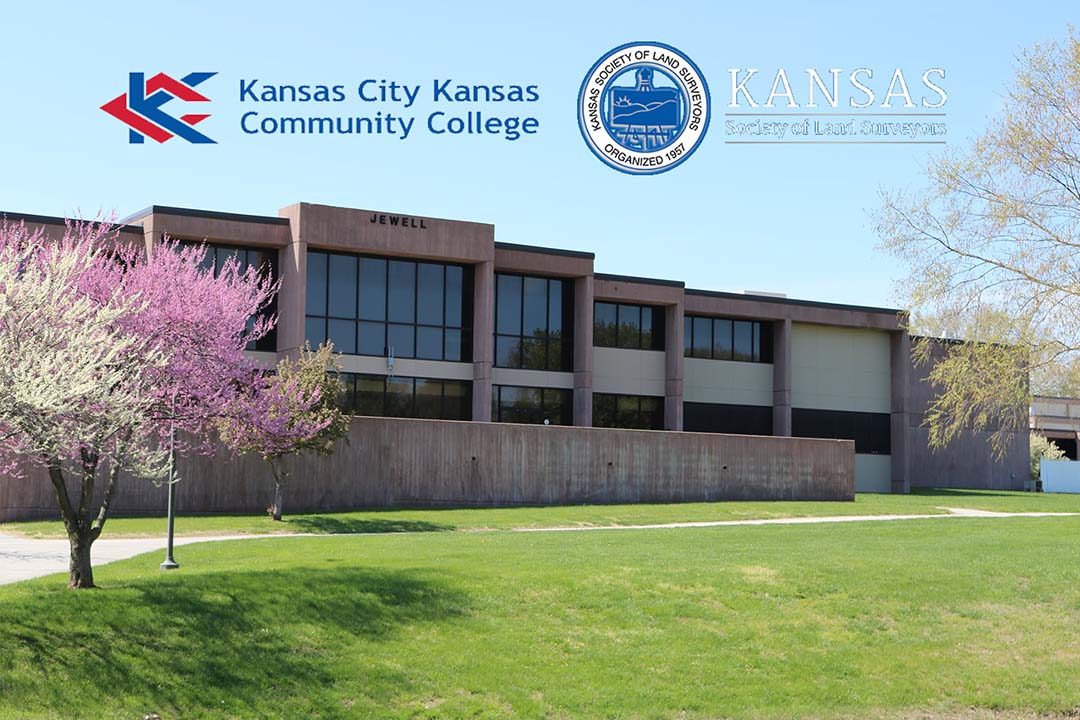
Anderson, along with the Kansas Society of Land Surveyors (KSLS) and KSLS Charitable Foundation, have spent months working with the Kansas City Kansas Community College (KCKCC) to formulate degree and certificate programs for land surveying professionals and those interested in the field of land surveying.
“For years, professional surveyors have recognized the need to recruit young people into the field of land surveying. As an aging profession, there has been solid movement to invest in the education of young surveyors across the United States. Although this has been a tough road, it is certainly satisfying when we see some success.” Wil Anderson, P.S.
Kansas was no different from the rest of the USA and recognized a gap in technical training and educational resources for surveyors. In 2020, KCKCC began offering online courses as an interim measure for surveying. However, these courses were non-credit and fell short of the need to provide State approved education resources leading to professional licensing.
After months of research and curating a curriculum, KCKCC with the assistance of KSLS members presented an online ‘Geospatial Planning’ program to the Kansas Board of Regents for approval. In April, the board approved the program and KCKCC will be offering both an Associate Degree program and a Certificate program during the Fall 2021 Semester. Course credit will be given to those previously enrolled in the program and count towards completion of both programs.
KSLS Charitable Foundation is pleased to offer scholarships to those interested in the new program. Scholarship requirements and applications are available at www.ksls.com/foundation
Wil Anderson is a Professional Land Surveyor with more than 50 years of experience in the surveying industry. His background includes mapping, boundary, mining, defense and construction within the USA and internationally.
