
Introduction to ALTA/NSPS Land Title Survey
Real Estate is a major component of commercial development projects. It usually involves a transaction to purchase the development site or to fund the development using the value of the property after development. Buyers, lenders, and backers will look to reduce their risk in the development and to validate that the development has been built to design, resulting in a return on their dollar. The development teams on the other hand look for options that will reduce their risk in the project or help to identify areas of the project that may result in design element changes.
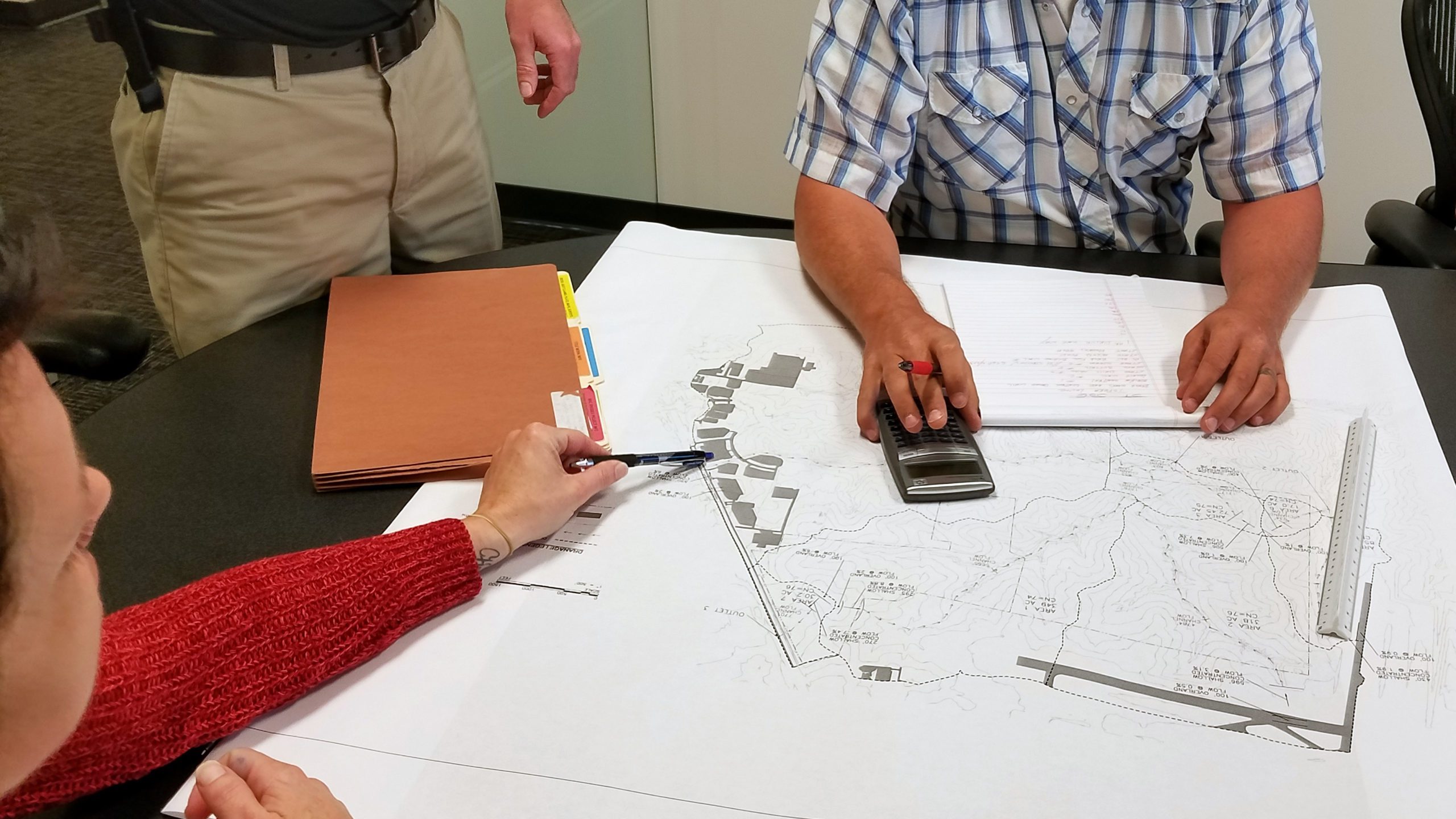
One of the best ways to document these points is through an ALTA/NSPS Land Title Survey. These surveys provide detailed land information that are conducted to the national standards adopted by the American Land Title Association (ALTA). In most States the standards of both the State and the ALTA/NSPS are consistent.
The Benefits of an ALTA Survey
Given their consistent set of standards, ALTA/NSPS Land Title Surveys provide developers, architects and attorneys, along with many other stakeholders, a specific tool to reference that brings attention to anything that might affect how a property is developed. ALTA/NSPS Land Title Surveys oftentimes find issues that are not a component of a boundary survey or title search.
The development teams are looking to the title companies to provide insurance on the site. The title company puts together a title report with the supporting documents, encumbrances, liens, easements, and mortgages. Most importantly the report will identify the ownership, the subject deed and the legal description. All parties involved in the transaction will evaluate the title report and determine what impact that will have on their investment. The ALTA/NSPS Land Title Survey is an important part of this process including its role in reducing the insurance premium.
This kind of survey goes as far as providing important information about new improvements to the land such as rights of ways, fences and roads. These modification to the land could affect its ownership which may result in further investigation into the rights of the property.
This nationally recognized type of survey is especially helpful for corporations or property owners that expand across state borders. They help provide a baseline for each development so that the property owner becomes more familiar with the process regardless of the state. Additionally, their ownership of the land is insured through this contractual agreement of performance of an ALTA/NSPS Land Title Survey.
Table A Options
“Table A” options provide a checklist allowing the development team to tailor the survey scope for the transaction or project to move forward. Before making the decision to perform an ALTA/NSPS Land Title Survey, the key is the transaction. If there is no transaction, then no ALTA/NSPS Land Title Survey is needed.
Download Fillable Table A Form
It is also important to note that not all ALTA/NSPS Land Title Surveys are created equal. “Table A” is a guiding document in this process. Aside from the first four required items listed on “Table A”, this document also presents add-ons depending on the client’s intended use for the development. It’s important to consider all the different variations listed in “Table A” as some may be required or highly suggested by lenders to evaluate the development.
“Table A” helps form an introduction to the next part of the development and a basis for design surveys that development or engineering uses. Starting to understand topographic features and utilities from this kind of survey will allow for a focused design process that is invaluable when all the pieces come together.
A recent ALTA/NSPS Land Title Survey performed for one of BHC’s clients in Edwardsville, Kansas uncovered a boundary line overlap. Thanks to the ALTA/NSPS Land Title Survey, the discrepancy can be resolved through simpler means rather than if this error was caught after the development progressed. Resolving the issues through an ALTA/NSPS Land Title Survey can help save a lot of money and hassle later down the road for everyone involved.
Expectations from the Civil Engineers
When assessing the land used for a development, it is critical to communicate all the goals to the development team including architects, engineers, and surveyors.
Another concern a property owner must address is whether the property is zoned correctly for the usage. If the zone needs to change to support the future development, there will be different code requirements that the ALTA/NSPS Land Title Survey must allow assessment based on the new use of the lot. The survey only deals with what is current but should allow the development team to evaluate the new requirements.
Our surveyors at BHC will have a better understanding of codes and regulations to be aware of that the development must comply with when these expectations are communicated. Suggestions can be made as to what additional “Table A” options would be best to consider for the property as well. Our surveyors are experienced on what to lookout for and often recognize issues that should be addressed at the site.
A lot of times the requirements on a survey need to be thought out by the development team that will be developing the property. With the information you ask for from “Table A”, the property owner really needs to think about what information they’re going to need for the design. If possible, it is beneficial to have the designer see the property site in-person to assess additional survey points that should be looked into for utility and topographic concerns.
BHC would like to help you gain important insight into your land by performing an ALTA/NSPS Land Title Survey. Contact our Survey Services Group Leader, Wil Anderson, to get started with your next project.