
UAV Services at BHC
Unmanned aerial vehicle (UAV) technology has found its way into nearly every form of industry. From agriculture to film and entertainment, to healthcare and retail – you name it.
UAV capabilities offer innovative solutions for companies to deliver a better quality of services and products to their customers. Popular consumer companies like Amazon and Uber Eats have begun to pilot UAV delivery services in cities across the United States while international UAV programs have begun to explore UAVs for passenger travel.
Some may ask that question, “What’s the difference between drone and UAV?” And the answer is nothing, really. ‘Drone’ is an ambiguous term and can be used to describe different technologies. In the field of surveying and mapping, drone technology can be applied to several unmanned vehicles not only for land or flight, but for water deployment as well. So, to be specific to the technology we’re speaking of in this article, we choose to use the term ‘UAV.’

As Professional Land Surveyors, it is our obligation to be familiar with new technology in the field of surveying and how it can be best used to provide accurate data and deliverables. We began to see an opportunity to provide better solutions for our customers using aerial data. After researching UAV capabilities and weighing the benefits, our leadership gave the green light to move forward and in 2019, BHC invested in UAVs to be used in our Surveying Services. Since then, our pilots have provided UAV services to our customers from the following industries:
- A/E/C
- Commercial and Residential Real Estate
- Mining and Aggregates
- Municipal and Local Government
- Power and Energy
- Telecom
- Transportation and Logistics
- Waste Management
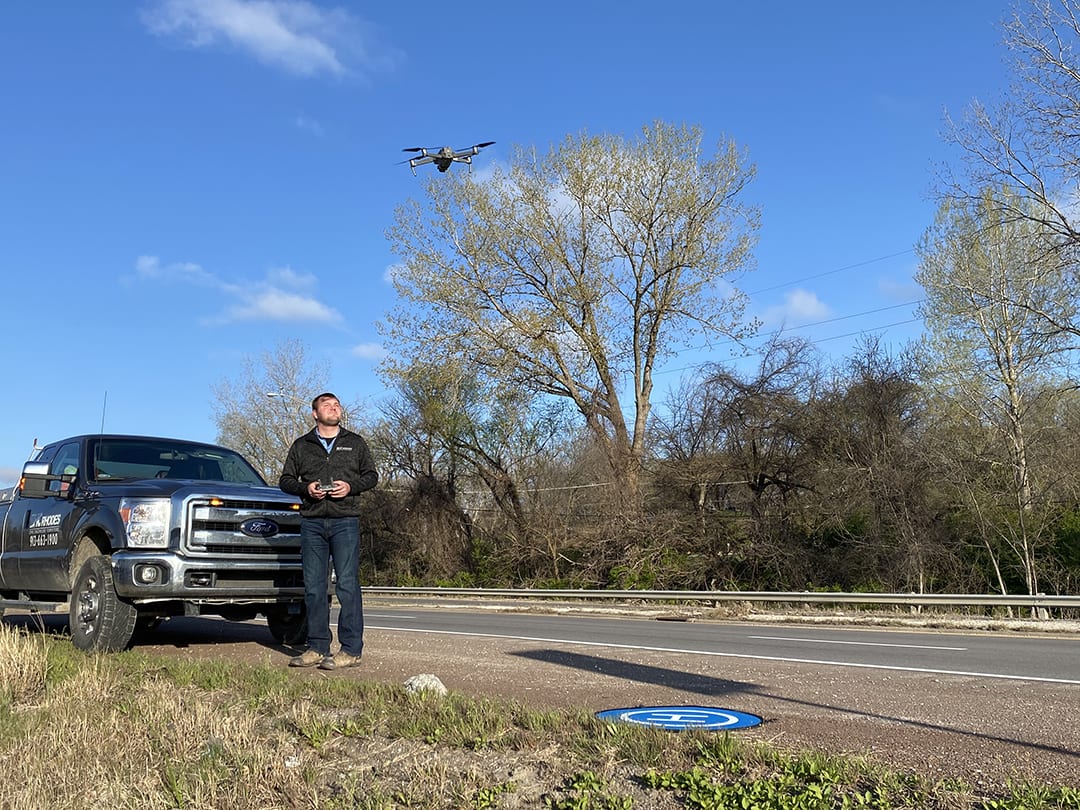
Our UAVs are registered under part 107 with the Federal Aviation Administration (FAA), allowing for legal flight elevations higher than recreational or hobby UAVs. Our Surveying Segment is staffed with nine skilled UAV pilots certified by the FAA. Our pilots have logged flight and training hours, setting them apart from amateur or recreational UAV users, complying with all FAA restrictions.
For UAV projects, our pilots will assess the site prior to the flight and determine a safe launch area. From there, a flight plan will be drafted and filed with the local flight service station. Federal rules prohibit any operation of UAVs within 5 miles of most airports above 400 feet, unless prior air traffic authorization is granted. Should we run into any flight plan issues, our pilots can easily find a solution for our customers that fall within all FAA guidelines.
BHC offers UAV services to benefit our customers at every stage of a project. Our UAV services include:
- Photogrammetry
- Exterior Structure Analysis
- Remote Inspection
- Aerial Route Mapping
- Project Progression
A recent UAV project took our Surveying team to northcentral Kansas. Here, they worked with our Utilities team and the Kansas Department of Transportation on an 80-mile fiber optic design route from north of Salina in Saline County, Kansas to the Nebraska border along Highway 81. Our Surveyors were tasked to collect ortho aerial imagery and produce digital images for use as the base of the project. Using UAV, our pilots flew along the project corridor to capture route data including indications of right-of-way, existing infrastructure and possible environmental constraints.
The data and imagery collected was then used to support the design the base mapping needed for the project. The BHC Utilities team will use ESRI ArcMap GIS software to complete the drawing portion of the project. From here, the Utilities Team can determine the optimal conduit route design.

Innovation is one of our core values at BHC. By investing in our technology, we are able to offer smarter and safer solutions for our customers. Our UAV services not only offer state-of-the-art imaging, but also provide an alternative to potentially dangerous field work via remote accessibility.
Are you interested in using UAV technology in your next project? No problem. Connect with our Surveying experts to find out more information about UAV services.