
Augmented Reality in Civil Engineering
Augmented reality software has expanded creative service offerings in the AEC industry. At BHC, we’re using development software, such as InfraWorks and Twinmotion, to create visually representative material. We use these tools to demonstrate the condition of plotted land structure which sets our clients’ future developments up for great success.
Site Analysis
Through InfraWorks, we conduct a site analysis which consists of evaluating the location placement and visibility of the development from various surrounding positions. This gives our clients a good idea of whether the proposed site will work given elevation constraints.
A recent project allowed for our Development team to produce renderings of their proposed restaurant located alongside a highway. Due to land elevation and building height, the restaurant was not visible to highway observers. By conducting this site analysis through InfraWorks, we were able to determine the correct revisions needed given the circumstance.
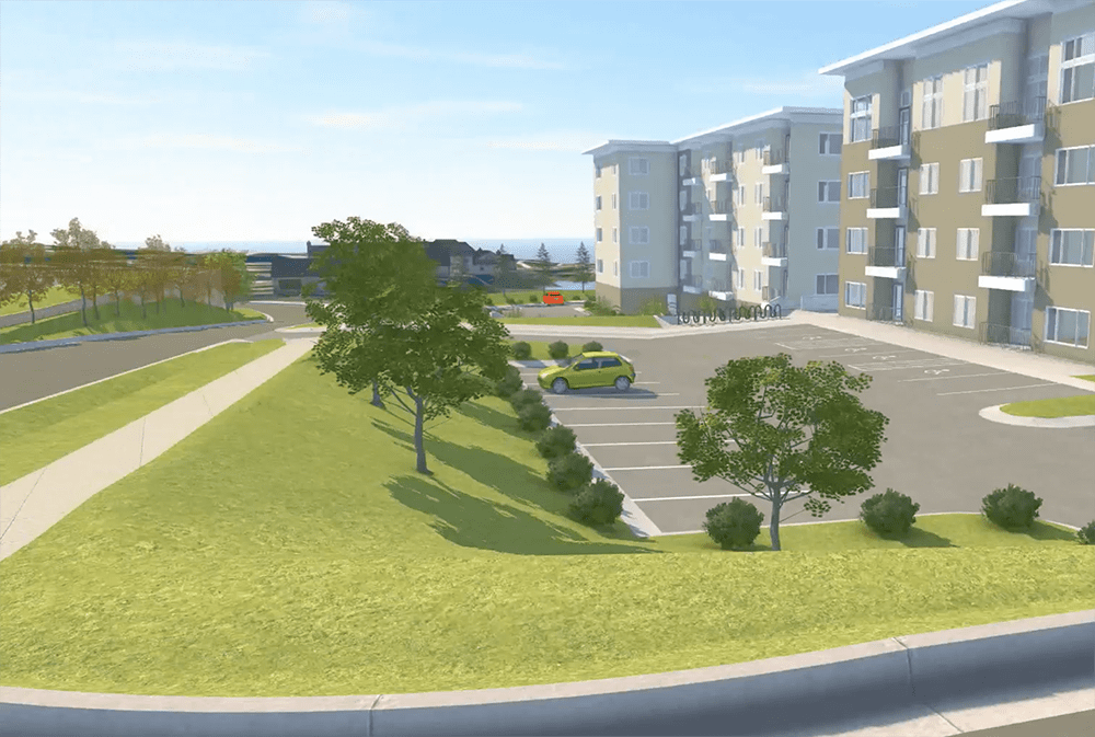
Site Visualization
Once a site location is approved for access and visibility, an in-depth 3D demonstration is provided using Twinmotion. This provides our clients with greater visual representation of the site civil work and how it complements the overall development. This step allows for our customers to see what the final project would look like with final grading, retaining walls, parking lot slopes and landscaping.
We will continue to use this technology to best provide our clients with confidence in choosing BHC.
Connect with us today to learn more about our services.