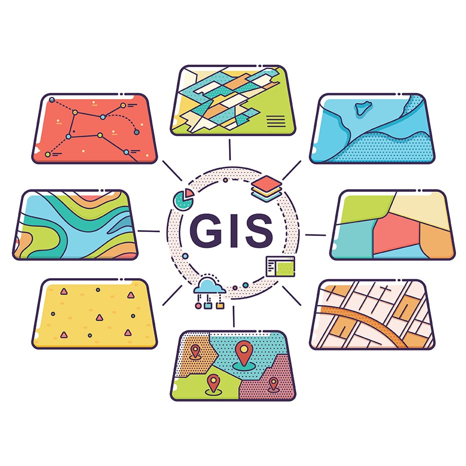
Geographic Information Systems (GIS)

Geographic Information Systems allows users the ability to map areas through the integration of private and/or public data. GIS as a tool can be used during the entire lifecycle of a project to increase project success.
By implementing GIS standards before the design process engineers can ensure a seamless transition to construction and operations/maintenance. GIS analysts examine field data in an effort to interpret and understand the best geographical identity of their customers. These maps created often identify problems, perform forecasting, set priorities, monitor change and understand trends.
