

GeoSLAM ZEB Horizon Backpack Scanner
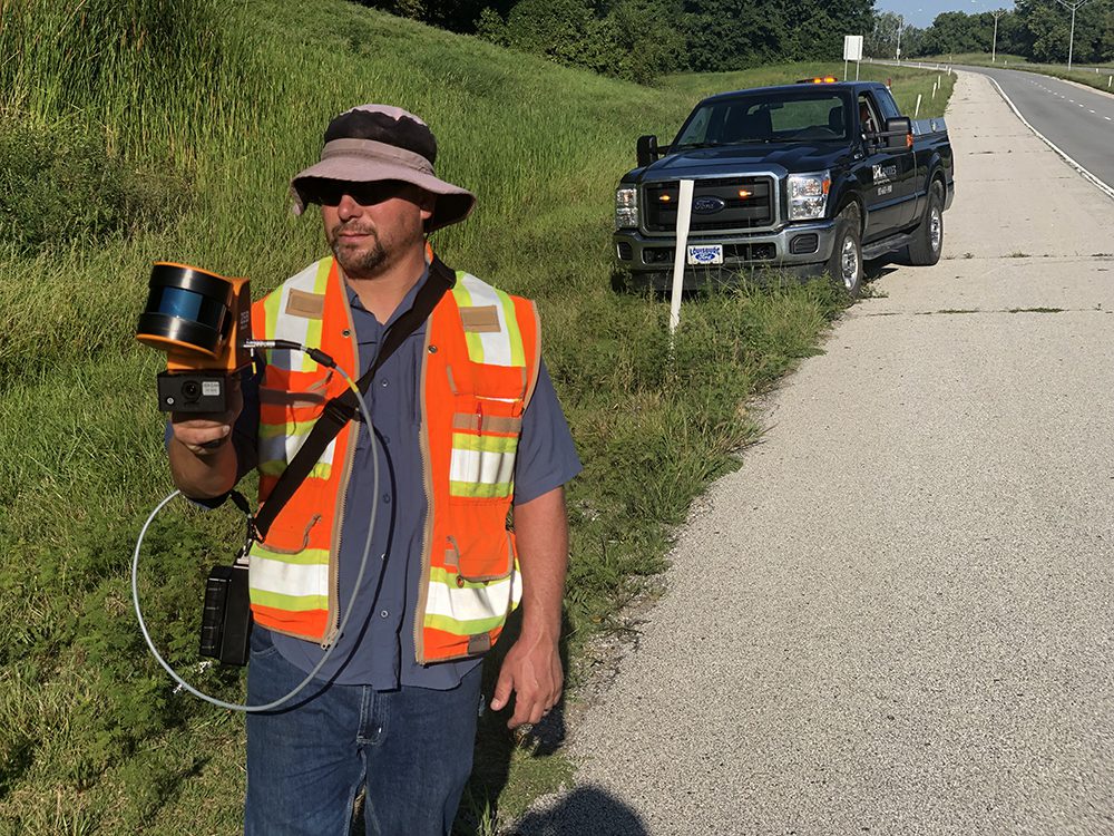
3D Lidar mapping has revolutionized traditional surveying applications by offering advanced survey grade data collection for a variety of interior and exterior surveying sites in an expedited timeframe. The GeoSLAM ZEB Horizon backpack scanner provides our Survey Segment with more efficient data collection while at a project location.
This portable scanning equipment collects 300,000 data points per second with a range of 100 meters. The scan builds as it makes its way around a location and collects real time, linear data, then uses its proprietary point cloud processing platform, GeoSLAM Hub, to process a point cloud rapidly. Our customers have a deliverable in the fraction of the time that it takes to collect using traditional survey grade methods, which makes for a more cost-effective procedure.
Backpack scanners also help in environments that make operating traditional surveying equipment difficult. Recent work scanning a 50 acre mine resulted in a scan that only took a couple days spent inside the mine collecting data. With traditional equipment, this scan would have taken weeks to complete. Given the inconsistent terrain of the mines, our surveyors can get in and out quickly and safely while accessing all the survey data necessary to complete the job.
BHC’s use of this technology, alongside our Trimble SX10 scanning station, allows us to gather some of the most in-depth survey data available. Contact us to learn more about how BHC can use this technology on your project.