
Unmanned Aerial Vehicle Technology (UAV)
The use of unmanned aerial vehicle (UAV) technology has become popular in the AEC industry in the last few years. It easily provides a quick alternative to potentially dangerous field work while delivering real-time data and visuals.
Unmanned Aerial Vehicle technology or drone technology offers several benefits to our customers. Our drone fleet is equipped with state-of-the-art, high-definition video cameras to ensure the best quality deliverables to our customers.
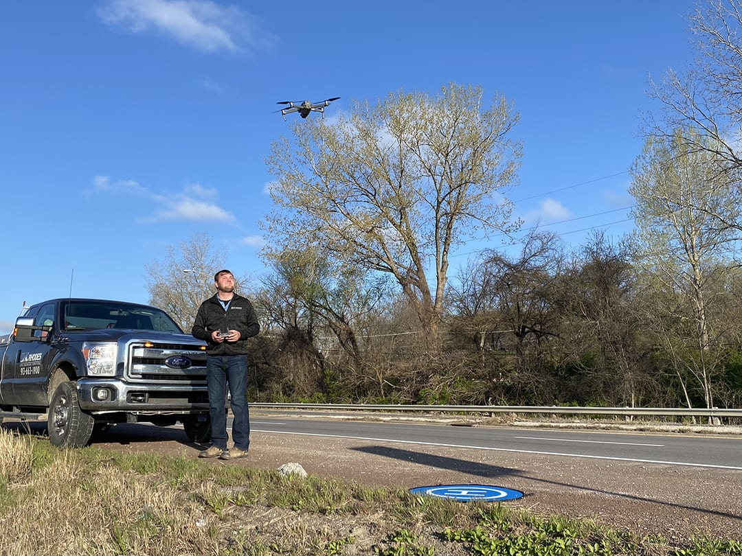
Our Surveying Segment is staffed with nine skilled UAV pilots certified by the FAA. Our pilots have logged flight and training hours, setting them apart from amateur or recreational UAV users, complying with all FAA restrictions.
A recent UAV project took our Surveying team to north central Kansas. Here, they worked with our Utilities team and the Kansas Department of Transportation on an 80-mile fiber optic design route from north of Salina in Saline County, Kansas to the Nebraska border along Highway 81. Our Surveyors were tasked to collect ortho aerial imagery and produce digital images for use as the base of the project. Using UAV, our pilots flew along the project corridor to capture route data including indications of right-of-way, existing infrastructure and possible environmental constraints.