

Map the Future with GIS
We track our money, packages, exercise – the list goes on. So why not track municipality projects to plan for the future? Currently, consumers use platforms such as Google Maps to identify where traffic is clear, slow-moving or heavy. Icons may indicate an accident, or road work, usually without details of the situation. But what if municipalities and/or companies could see municipality improvements on a map – allowing them to plan for the future accordingly, for the day or even the year?
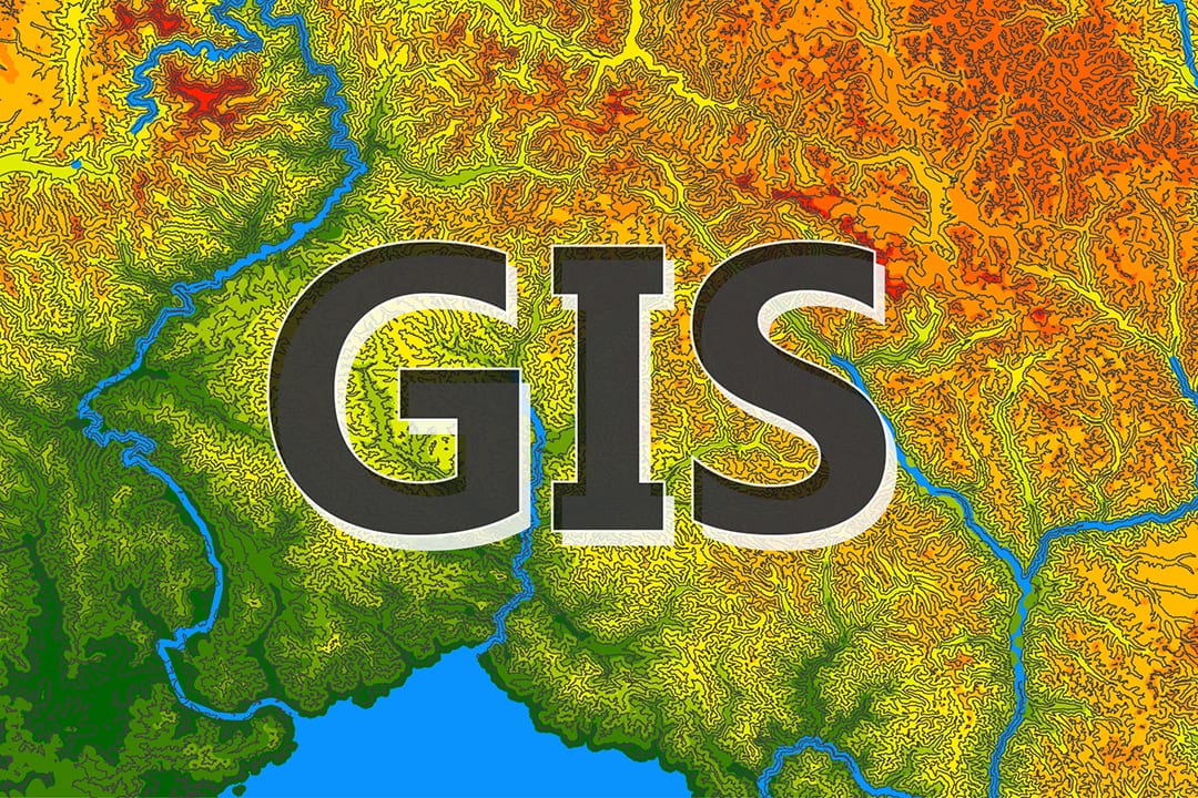
Mapping
To create this type of map, BHC’s Geographic Information system (GIS) analysts would gather, analyze and manage geo-spatial data. GIS can be used during problem solving and decision-making processes allowing parties access to visual data.
Simply put, GIS is used to map where things are located, as well as, the densities of an area. This powerful system can show the changes of a specific area over time and allows analysts to know what significant landmarks are near an area.
Google Fiber Relocation
In 2012 when Google Fiber launched in Kansas City, fiber was placed across the metro area allowing consumers access to high-speed internet. Fast-forward eight years and some fiber now needs to be relocated due largely to municipality improvements (new traffic signals, stormwater/drainage, street widening, etc.) within the right-of-way.
In order to prepare for the future, BHC designed an interactive map of the Kansas City metro area for Google Fiber. This map allowed Google Fiber to see all current and potential municipality improvements, which helped eliminate future conflict for their relocation work. The Google Fiber team also is able to more accurately forecast how much they could potentially spend over the next few years on relocation work.
The map specifically allows users to view Kansas City and then choose a municipality project (either a confirmed or potential future project). Once a project is chosen information such as the city contact, project manager, project phase and status are provided. Project engineers and GIS analysts categorized municipality projects as low, medium and high priority based on the data gathered.
Benefits of a GIS Map
By metropolitan jurisdictions collaborating on a public improvement platform, utility companies can plan and manage future relocation budgets and designs in advance. This proactive approach benefits not only the utility companies but the municipalities, as well. They potentially will be able to avoid future conflicts – saving them valuable time and money.
Municipalities can also learn from a map that catalogs municipality improvements. As urban landscapes continue to evolve, the importance of understanding the current needs of the municipality as well as the future wants will continue to increase. By creating an easy-to-use tool that manages how we view and consume data, city planners can make informed decisions benefiting the end-users – the taxpayer.
What Can We Learn?
By gathering information from cities, our Public Works department can learn a fair amount about that municipality’s preferences. Specifically, does that municipality like roundabouts, turning lanes and/or grass medians? Overall, by observing and collecting data we can better understand a municipality and create designs that work best for their citizens.
These Public Works projects directly impact the quality of life in the communities we serve together. Our planning process focuses on working in harmony with communities and making meaningful positive changes for the people that live in them.