
Are You Effectively Managing Your Assets?
Traditionally when talking about asset management one would associate this term as from the accounting or financial world. Assets, however, can be many things – tangible or intangible – and exist in all businesses and industries. In our experience in the A/E/C industry, one of the most important practices a business should do is effectively manage and inventory their assets. We encourage our customers to be proactive when effectively managing their assets, saving them time, resources and money down the road.
Assets and inventories vary slightly across industries. Unlike retail, the objects that we inventory are not stored on shelves and warehouses. Inventories on cellphone towers, for example, span miles and miles apart. Municipalities inventory assets like stormwater drains, traffic signals and sidewalks across their city limits. Companies in the telecommunications or electric cooperative industries manage inventories consisting of miles and miles of underground or aerial conduits, or utility pole assets, to deliver their services to the public. It is important that these companies have an accurate inventory of all of these items. Businesses must monitor their assets to maintain the highest level of productivity and just like money, physical assets are critical components to any business.
Over the years, we have come to find the one physical asset that can be easily overlooked… dirt. Protecting valuable real estate assets is as simple as conducting a land survey. Our survey team has over fifty years of knowledge, experience and dedication to the surveying and mapping industry and we own the largest land records library in the Kansas City metro. Our surveying services are almost limitless, and we are here to help businesses understand:
- land boundaries
- location of utilities such as electric, data, sewer, water and drainage systems
- property encroachments and easements
- building footprint
- detention basin and stormwater systems
- parking lots and public accommodations
Since 1992, BHC has consulted with many local governments and large, national corporations helping them effectively audit their assets. So, exactly what data comes from this process? Depending on the customer, we customize each database to meet their requirements. Not only do we simply itemize objects, we use state-of-the-art technology to collect and measure physical attributes. These attributes include data like size, depth, height, length, distance and capture GPS coordinates. With this valuable information, our customers are able to make responsible decisions to best utilize their assets for today and plan for the future.
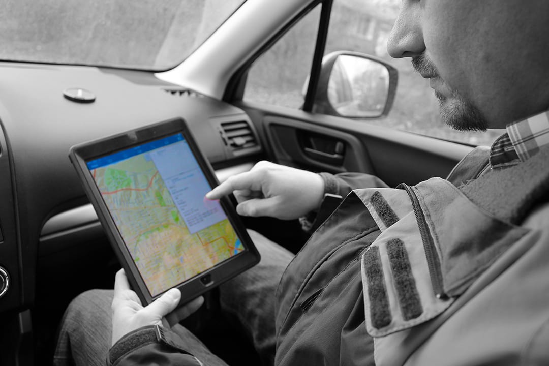
BHC has always been known for being on the forefront of technology. Whether it’s drone imaging or LiDAR technology, we offer our customers the speed and accuracy of digital data collection. By utilizing advanced equipment our surveying team can quickly capture field data that is converted to powerful intel for our customers. Here’s how it works – our field technicians capture field data. Rather than the old method of pen and paper, we are capturing the same information plus more in a digital format that is easy to share with our customer. Collecting the data in a digital format allows for a quicker, cleaner delivery of data along with a cost-saving for our customer.
Data from an asset inventory can also be used to examine the life cycle of an asset to determine its efficiency or to allow better coordination. As assets age and depreciate, it’s important for companies to have an action plan to forecast for repairs or replacements. For example, a local government may receive complaints from their residents about flooding in certain areas. Cities design stormwater systems to control flooding. When an area often has flooding after a rain event, what is the cause of this flooding? This is when our customers call on us.
Using knowledge and data from the City to locate the chronic flooding areas, these areas would be inventoried by our Survey team to capture real on the ground conditions within a GIS database of the city’s stormwater system. This study would collect data detailing the components and structures of the city’s stormwater system. This allows our engineering team to determine any problem areas. The team would then work with the city to make recommendations on how to migrate the flooding in a particular area or to create a master plan to begin planning and completing repairs in order to get their stormwater system back to running efficiently. Our services are designed to provide the best ROI and cost savings to our customers.
Just like a financial advisor, BHC is here to help our customers manage their asset risks and promote asset growth for the future. We invite you to explore our services to see how our “no problem” customer service and skilled team can help you take control of your asset inventories and plans for the future.