Telecom
GIS Mapping
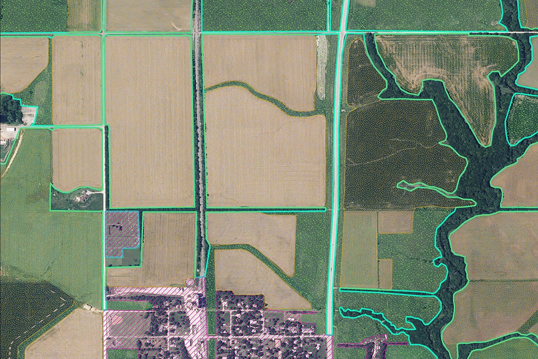
Geographical Information Systems (GIS) Capabilities
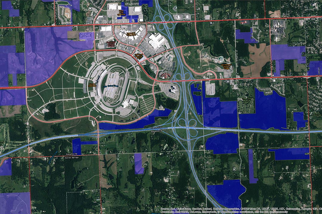
As a Silver ESRI Partner you can rest assured our Geographical Information Systems (GIS) experts are knowledgeable and experienced. GIS is a powerful tool designed to capture, organize, store, analyze and display information based on actual geographic locations. It enables people to visualize, examine and interpret data to understand patterns, relationships and trends. We offer a wide range of GIS services to make your project a success. From data gathering to create base maps for new development, to digesting all different forms of data from CAD drawings, shapefiles, kmls, microstation files and more.