Telecom
GIS Mapping
GIS Assistance
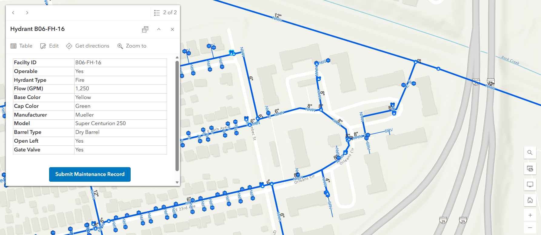
BHC is supporting the City of North Kansas City in operating, maintaining, and updating GIS data for City-owned infrastructure. Beginning with drinking water, BHC is helping migrate the City’s data to an ArcGIS Online platform to improve access and usability. BHC is also developing an updated GIS system to better organize existing information, link supporting datasets, and maintain compatibility with future system upgrades. In addition, BHC is partnering with the Community Development Department to add automation and other time-saving features that help City staff maintain and update addressing, zoning, and other critical data.