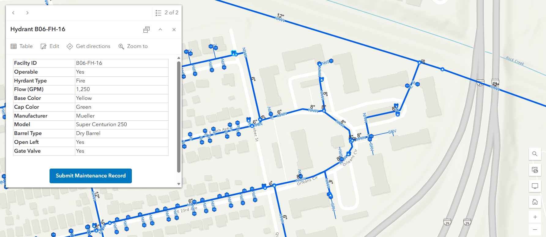
GIS Mapping
GIS Mapping
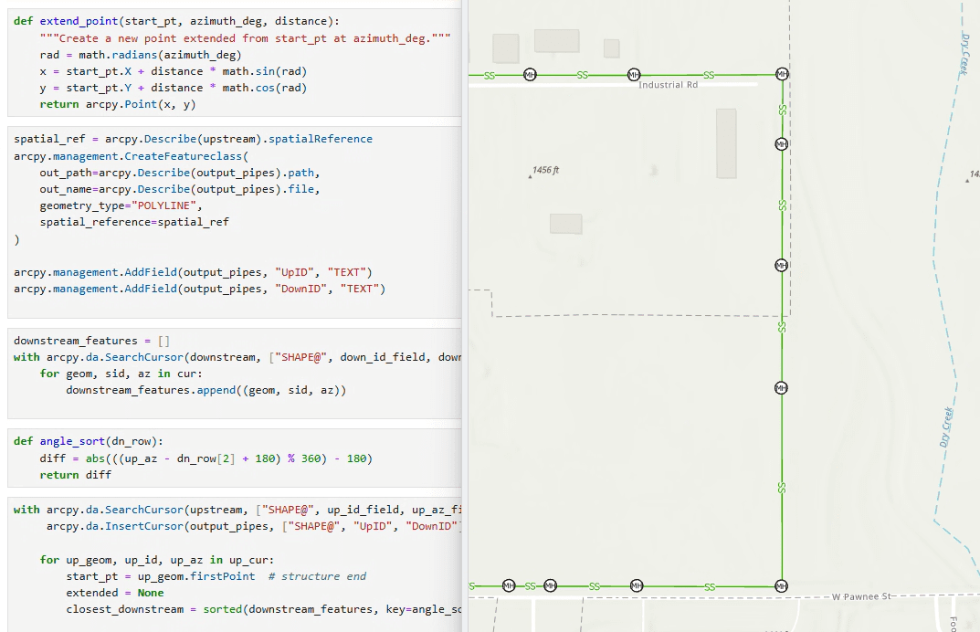
Our public works department coordinated with construction services to locate, verify, and map 625 sanitary sewer manholes and mainlines within city limits. The incorporation, management, and validation of survey data in ArcGIS Pro produced an accurate sanitary sewer GIS dataset. Quality control reviews, GIS data corrections, and re-survey coordination addressed deficient or inaccurate manhole locations. The delivery of finalized GIS files enabled the City of Goddard to integrate the sanitary sewer dataset into the City’s public-facing GIS website.