Public Works
Asset Inventories & Management
Back

Edwardsville Street Inventory

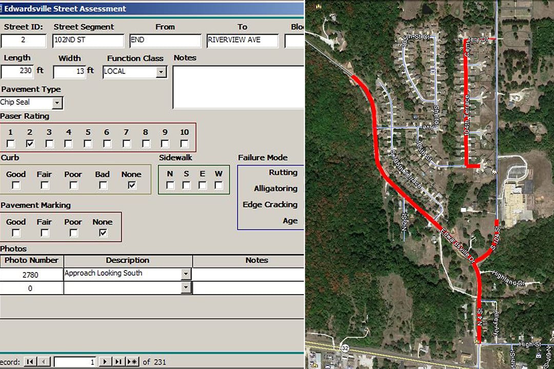
As part of our ongoing on-call services for the City of Edwardsville, BHC was asked to assist with the creation of the City’s first street inventory database. Information was collected from 239 different street segments covering 81,000 LF of City streets. County GIS data was used to georeference all inventory information prior to fieldwork. Data was processed and graphics were created to illustrate the results of the street inventory. BHC provided the final information formatted to view in Google Earth which avoided the need for special GIS software.


