Public Works
Asset Inventories & Management
Back
Sewer Manhole Inventory
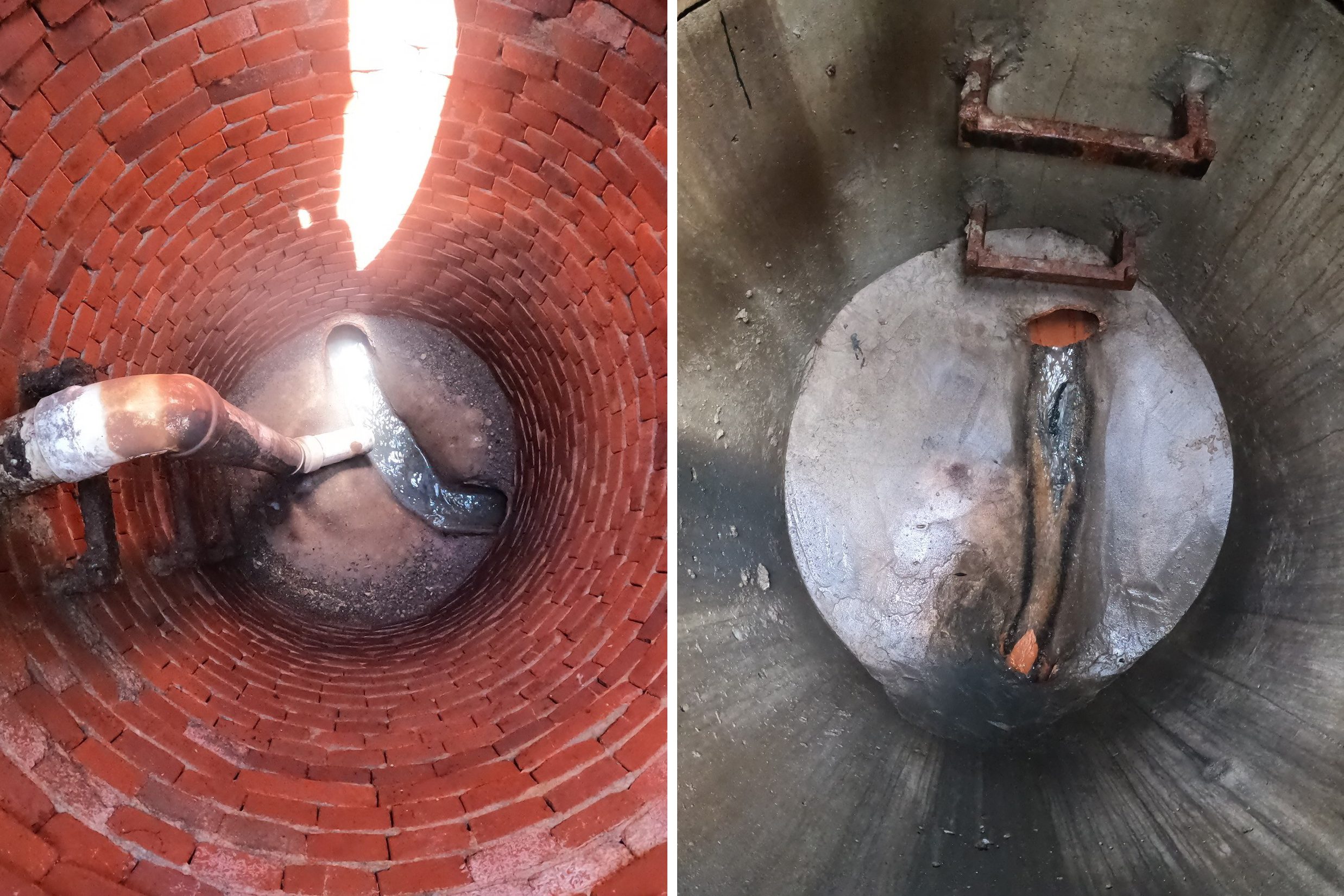
As part of ongoing on-call services for the City of Edwardsville, BHC was asked to assist with the creation of the city’s sewer manhole inventory database. Information was collected from hundreds of manholes across the city. County GIS data was used to georeference available information prior to fieldwork. Each manhole was surveyed to establish horizontal location and elevation of rim. Invert depths were measured, allowing the city to gain valuable information on sewer structure and pipe depths across the entire system. Photos and condition ratings were also gathered for each structure. BHC provided the final information formatted to view in Google Earth, avoiding the need for special GIS software.