Telecom
Fiber to the Home (FTTh)
FTTx Route and Permitting
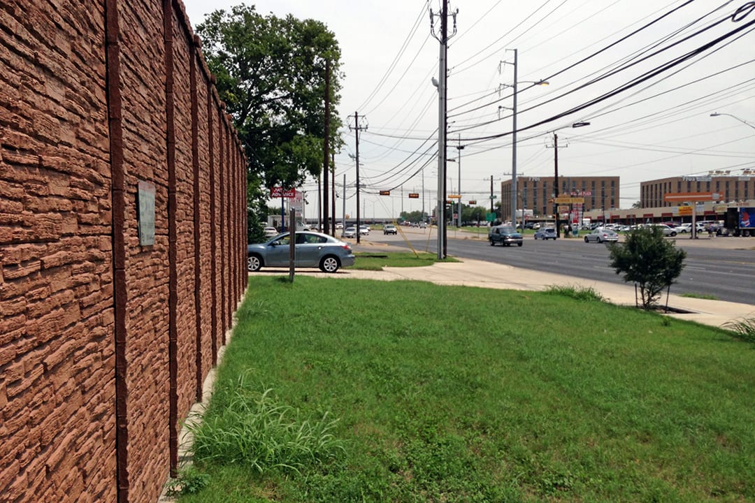
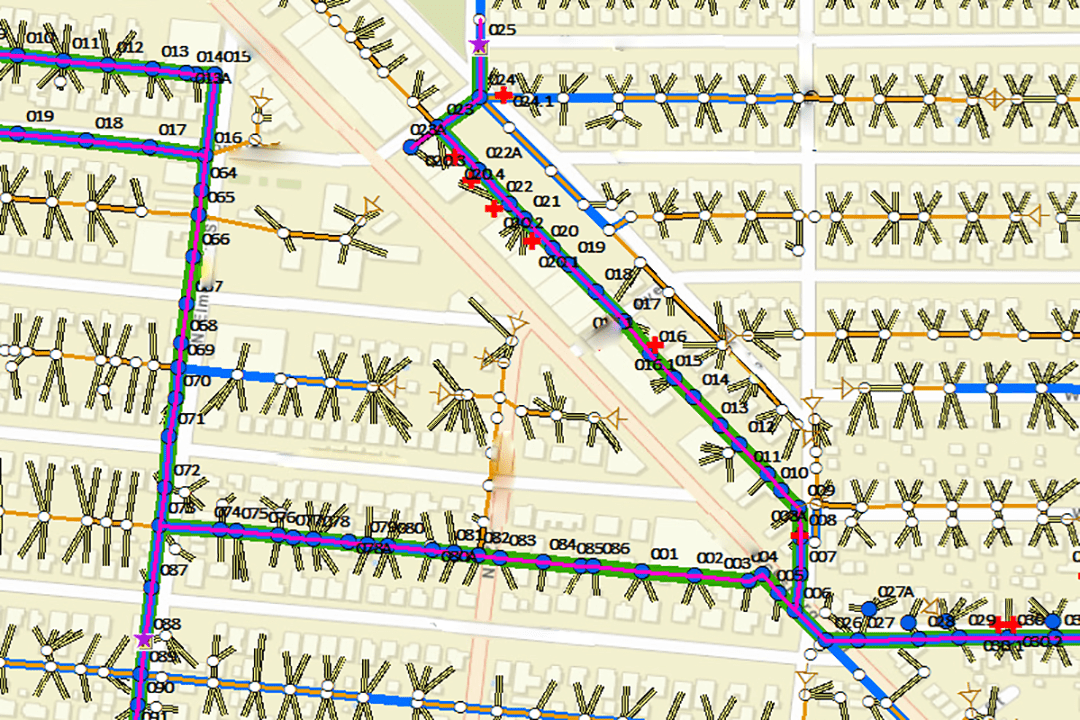
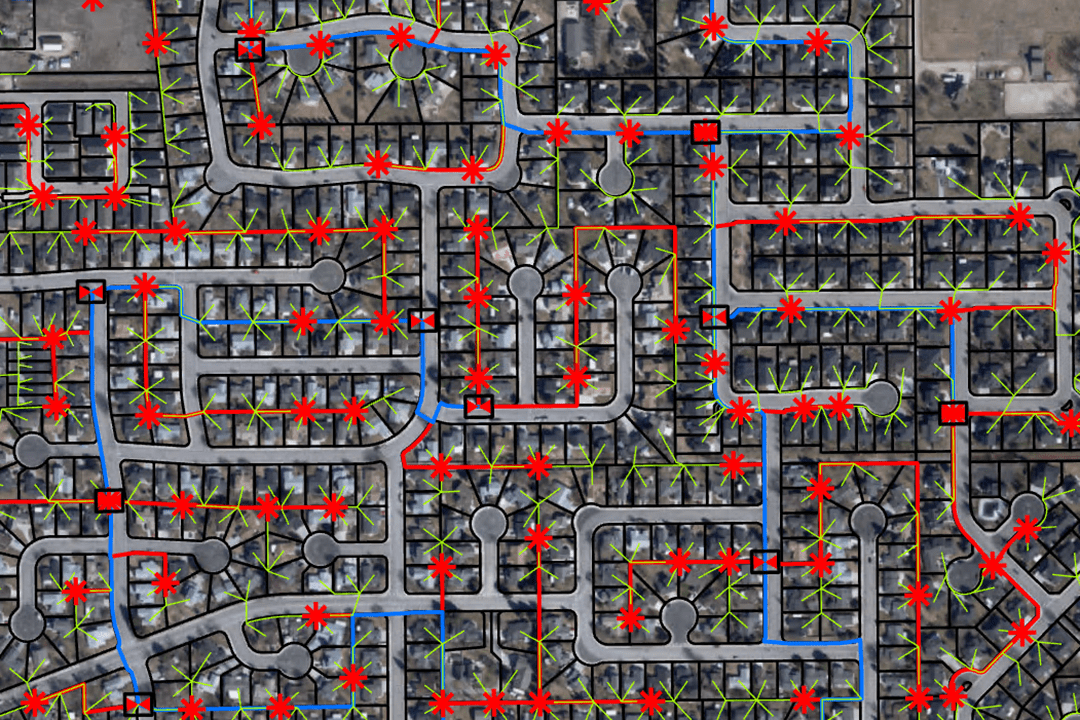
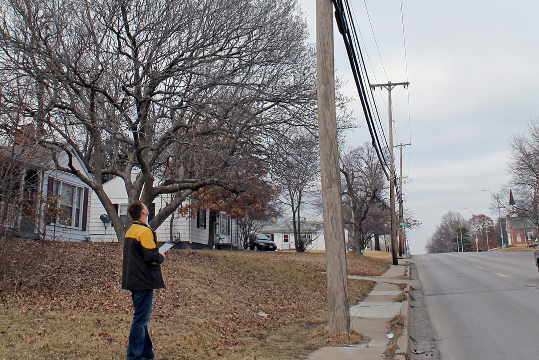
BHC provided route validation, route engineering, utility coordination and permitting services on this 800-mile FTTx Route and Permitting project in Austin, Texas. ESRI ArcMap software was leveraged to develop comprehensive project drawings combining existing GIS data sets, real time field data collection and archived utility data in Herm formats. To meet the aggressive project schedule, our team developed a tracking and reporting system with web access for quick customer review. Walk outs were performed to provide final validation of routes. Over 600 separate permit application packages, including more than 2000 individual route drawings, were produced and tracked through successful acquisition of construction permits for the FTTx Route and Permitting project.

